Carneros Watershed: Geology
From CCoWS Wiki

Metadata
- Original source of data:
- Hydrography: National Map hydrography data set
- Roads: National Map transportation data set
- Watershed boundary: Watershed analysis in ArcMap by Fred Watson based on National Map 1/3 arc-second elevation data
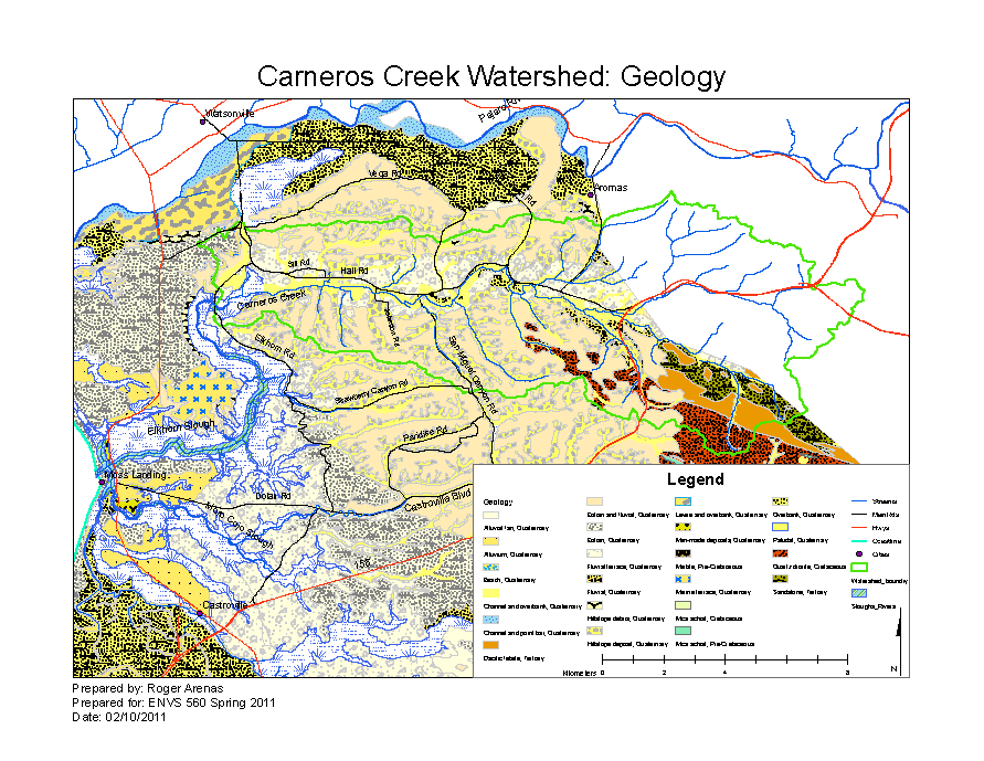
- Geology of Monterey County: LI Rosenberg. 2001. 21st Century General Plan Update.
- Data analysis: Fred Watson (watershed boundary)
- Base map produced by: Rose Ashbach
- Geology map produced by: Roger Arenas
- Map produced using: ArcMap
- Coordinate system: Geographic Coordinate System - GCS_North_American_1983
- Datum: D_North_American_1983
Links
Disclaimer
This page may contain students's work completed as part of assigned coursework. It may not be accurate. It does not necessarily reflect the opinion or policy of CSUMB, its staff, or students.