File:ExistingOakWoodlandsFortOrd.gif
From CCoWS Wiki

Size of this preview: 565 × 600 pixels.
Original file (600 × 637 pixels, file size: 77 KB, MIME type: image/gif)
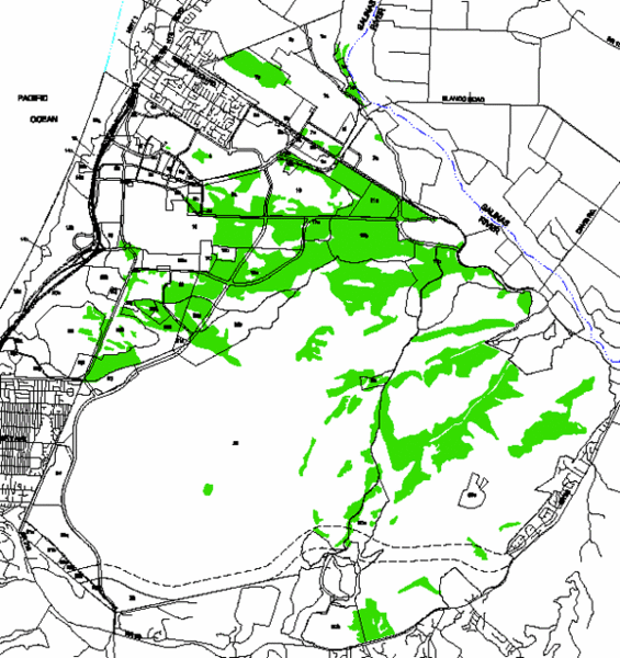
A map of existing oak woodlands on Fort Ord, courtesy of the Fort Ord Reuse Authority
File history
Click on a date/time to view the file as it appeared at that time.
| Date/Time | Thumbnail | Dimensions | User | Comment | |
|---|---|---|---|---|---|
| current | 15:06, 28 March 2013 | | 600 × 637 (77 KB) | Elizabethg (Talk | contribs) | A map of existing oak woodlands on Fort Ord, courtesy of the Fort Ord Reuse Authority |
- You cannot overwrite this file.
File usage
There are no pages that link to this file.