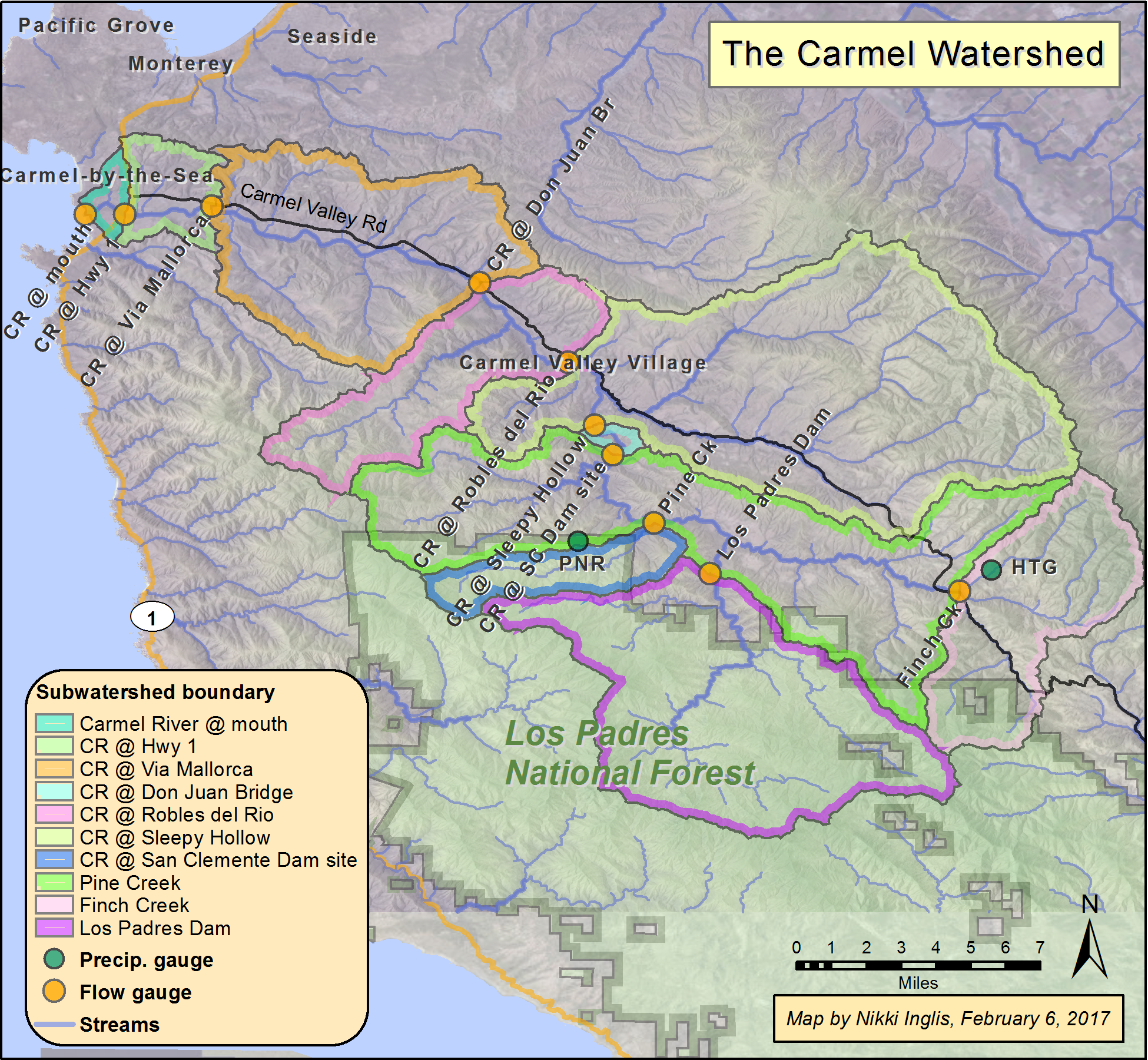
Carmel River Watershed: Map of Subwatersheds and Gage Locations
From CCoWS Wiki

Metadata
- Original source of data: USDA Geospatial Data Gateway [1].
- Map produced by: Nikki Inglis
- Projected Coordinate System: NAD_1983_UTM_Zone_10N
- Projection: Transverse_Mercatornal
- Geographic Coordinate System: GCS_North_American_1983
- Datum: D_North_American_1983
Processing Steps
- Retrieved temperature information from USDA website
- Added shapefile to base map
- Formatted legend, title, compass and scale