Difference between revisions of "Carmel River Watershed: Average Temperature"
From CCoWS Wiki
(→Processing Steps) |
|||
| Line 15: | Line 15: | ||
== Processing Steps == | == Processing Steps == | ||
| − | # Retrieved | + | # Retrieved temperature information from USDA website |
| − | # Added | + | # Added shapefile to base map |
# Formatted legend, title, compass and scale | # Formatted legend, title, compass and scale | ||
Latest revision as of 13:13, 13 February 2010

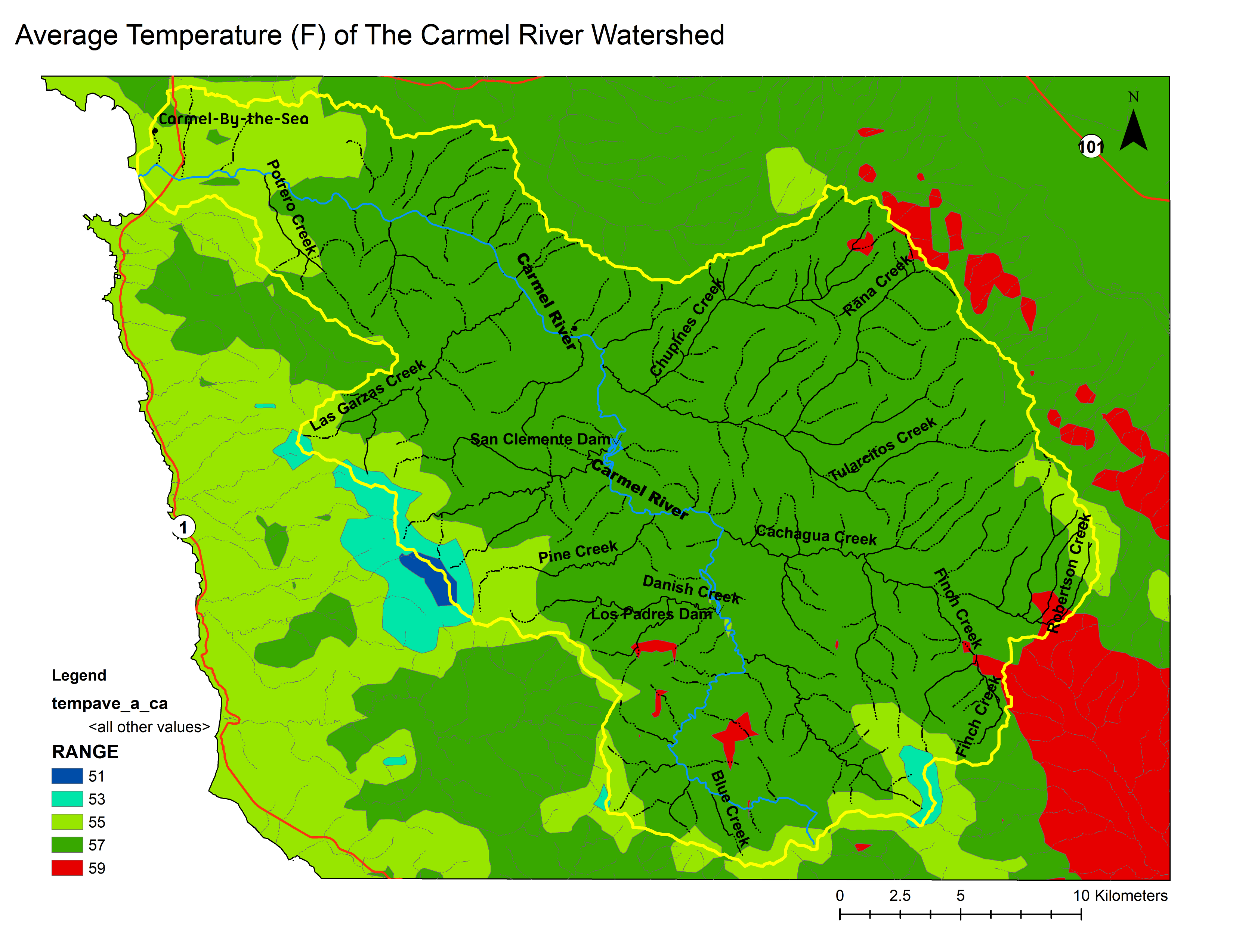
Metadata
- Original source of data: USDA Geospatial Data Gateway [1].
- Map produced by: David Nishijima
- Projected Coordinate System: NAD_1983_UTM_Zone_10N
- Projection: Transverse_Mercatornal
- Geographic Coordinate System: GCS_North_American_1983
- Datum: D_North_American_1983
Processing Steps
- Retrieved temperature information from USDA website
- Added shapefile to base map
- Formatted legend, title, compass and scale