Difference between revisions of "Carmel River Watershed: Map of Slope 2"
From CCoWS Wiki
(New page: thumb * PDF file - for printing * PNG file == Metadata == * Original source of data: See [[Carme...) |
(No difference)
|
Revision as of 23:37, 10 February 2010

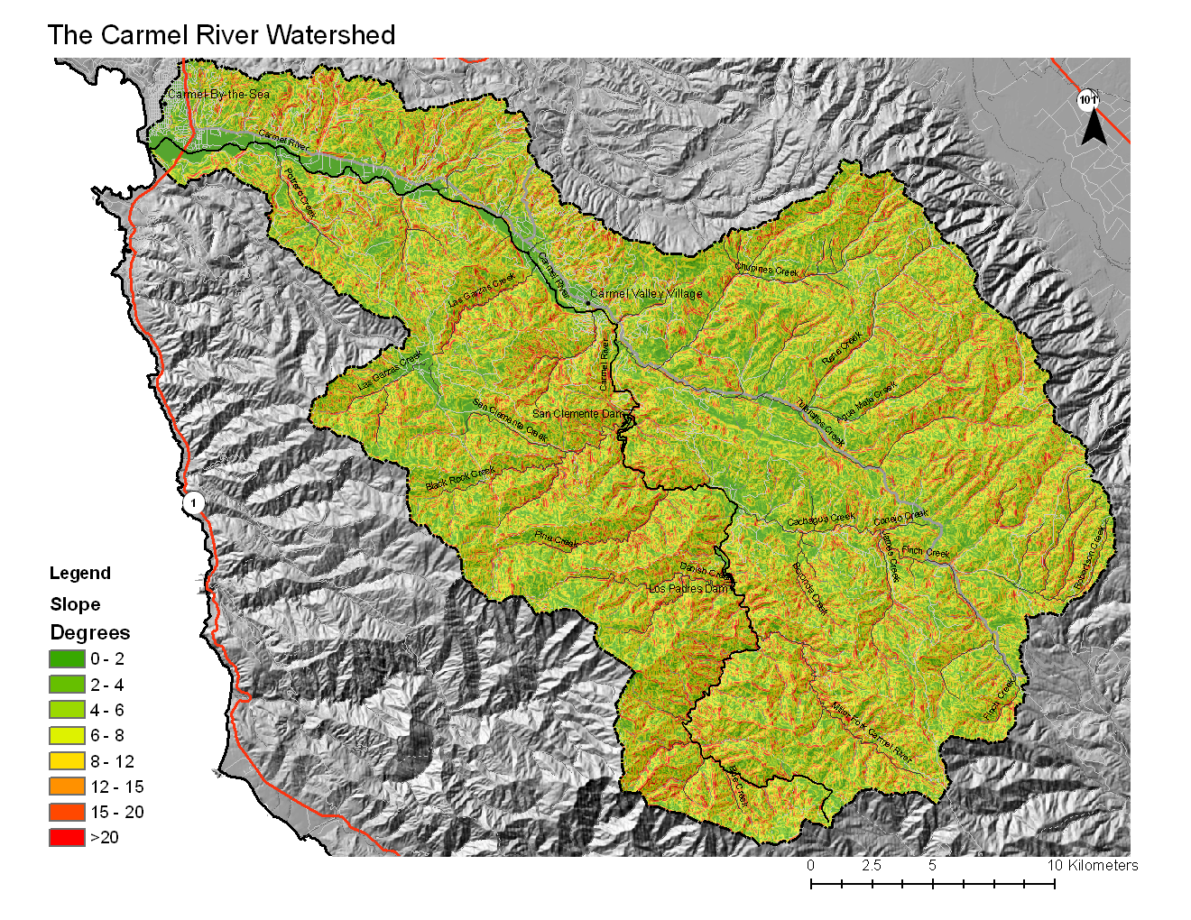
Metadata
- Original source of data: See Carmel River Watershed: Map of Elevation
- Data anlysis: ArcMap
- Map produced by: Colin Nicol
- Coordinate system: UTM Zone 10
- Datum: NAD 83
Processing Steps
- Open the Tools -> Surface -> Slope
- Select the DEM you want to calculate slope from
- Modify colors and catagory breaks as needed