Difference between revisions of "Carneros Watershed: Precipitation 2"
From CCoWS Wiki
| Line 1: | Line 1: | ||
[[Image:CarnerosWatershed Precipitation2.png|200px|thumb]] | [[Image:CarnerosWatershed Precipitation2.png|200px|thumb]] | ||
| − | * [[Media:CarnerosWatershed | + | * [[Media:CarnerosWatershed Precipitation2.pdf|PDF file - for printing]] |
* [[Media:CarnerosWatershedPrecipitation1.png|PNG file]] | * [[Media:CarnerosWatershedPrecipitation1.png|PNG file]] | ||
Revision as of 16:32, 10 February 2011

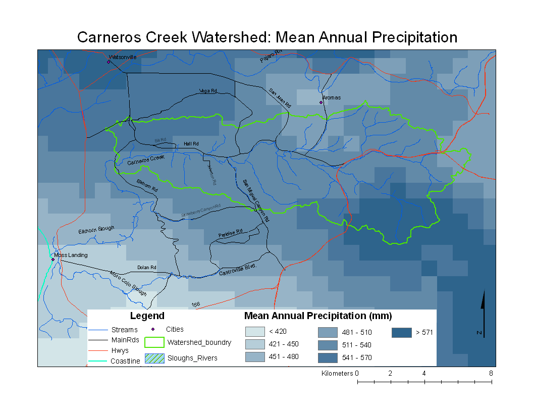
Metadata
- Original source of data: See PRISM
- Data anlysis: ArcMap
- Map produced by: Adam J. Purdy
- Coordinate system: UTM Zone 10
- Datum: NAD 83
Processing Steps
- A --> Raster
- Select the DEM you want to calculate slope from
- Modify colors and category breaks as needed