File:MPRPD PropertyMapCropped.jpg
From CCoWS Wiki
Revision as of 00:15, 4 April 2018 by CorySteinmetz (Talk | contribs)

Size of this preview: 521 × 600 pixels.
Original file (972 × 1,119 pixels, file size: 137 KB, MIME type: image/jpeg)
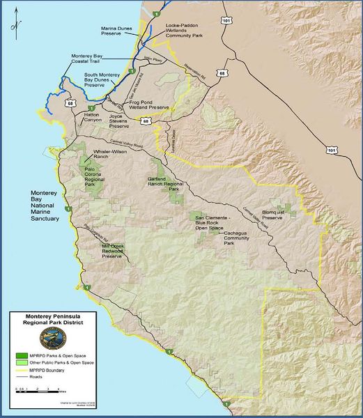
MPRPD Property Map from the 2016-2020 Strategic Plan
File history
Click on a date/time to view the file as it appeared at that time.
| Date/Time | Thumbnail | Dimensions | User | Comment | |
|---|---|---|---|---|---|
| current | 00:15, 4 April 2018 | | 972 × 1,119 (137 KB) | CorySteinmetz (Talk | contribs) | MPRPD Property Map from the 2016-2020 Strategic Plan |
- You cannot overwrite this file.
File usage
The following page links to this file: