Difference between revisions of "File:PublicLandCenCal.gif"
From CCoWS Wiki
| Line 1: | Line 1: | ||
| − | DO NOT USE! | + | DO NOT USE! WE do not have permission to republish this as per Interactive Outdoors Privacy Policy. Inaccurate map of public lands in Central CA, copyright Interactive Outdoors, Inc., downloaded on 4/3/17 from http://areas.wildernet.com/pages/area.cfm?areaID=CATRCC&CU_ID=1 |
Revision as of 13:14, 11 April 2017
DO NOT USE! WE do not have permission to republish this as per Interactive Outdoors Privacy Policy. Inaccurate map of public lands in Central CA, copyright Interactive Outdoors, Inc., downloaded on 4/3/17 from http://areas.wildernet.com/pages/area.cfm?areaID=CATRCC&CU_ID=1
File history
Click on a date/time to view the file as it appeared at that time.
| Date/Time | Thumbnail | Dimensions | User | Comment | |
|---|---|---|---|---|---|
| current | 21:25, 3 April 2017 | 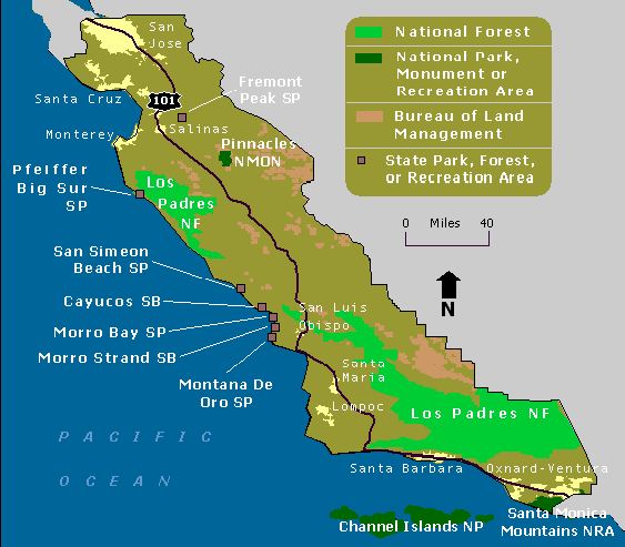 | 563 × 493 (16 KB) | Lizzye (Talk | contribs) | Map of public lands in Central CA |
- You cannot overwrite this file.
File usage
There are no pages that link to this file.