Difference between revisions of "Map of California Condor Release Sites"
From CCoWS Wiki
| Line 3: | Line 3: | ||
* [[Media:NHA Proposal.pdf|PDF file - for printing]] | * [[Media:NHA Proposal.pdf|PDF file - for printing]] | ||
* [[Media:Condor NHA.png|PNG file]] | * [[Media:Condor NHA.png|PNG file]] | ||
| + | |||
| + | |||
| + | == Background == | ||
== Metadata == | == Metadata == | ||
| Line 10: | Line 13: | ||
* Map produced using: [[ArcMap]] | * Map produced using: [[ArcMap]] | ||
| − | |||
| − | |||
| − | |||
| − | |||
== Links == | == Links == | ||
Revision as of 15:12, 4 March 2021

Background
Metadata
- Map produced by: Aubrie Heckel
- Map produced using: ArcMap
Links
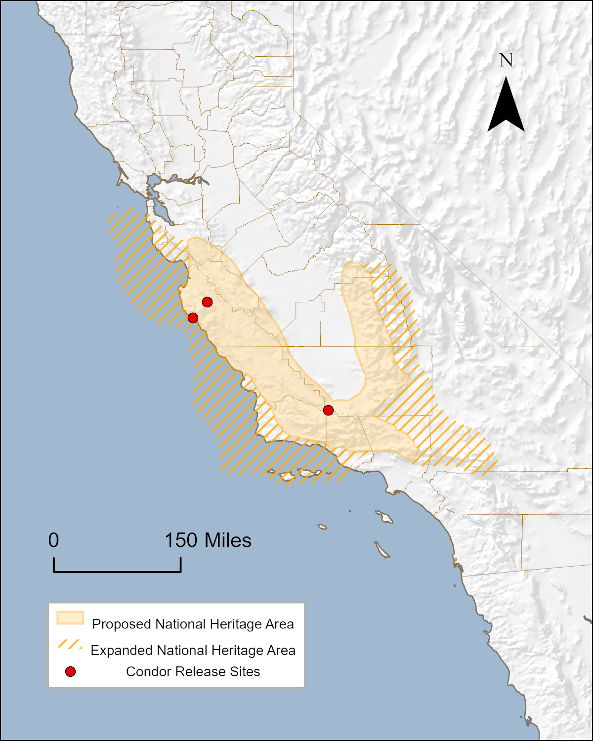
- Range of the Condor National Heritage Area
- Conservancy for the Range of the Condor
- The Condor Trail
- Lands that could potentially be designated for inclusion in the Range of the Condor National Heritage Area
- Maps of the proposed Range of the Condor National Heritage Area
- Organizations that are potential partners in the Range of the Condor National Heritage Area
- How to Post a Map on the Wiki