Difference between revisions of "Map of California Condor Release Sites"
From CCoWS Wiki
| Line 23: | Line 23: | ||
* [[Organizations that are potential partners in the Range of the Condor National Heritage Area]] | * [[Organizations that are potential partners in the Range of the Condor National Heritage Area]] | ||
* [[How to Post a Map on the Wiki]] | * [[How to Post a Map on the Wiki]] | ||
| + | |||
| + | == Disclaimer == | ||
| + | |||
| + | This page may contain student work completed as part of assigned [[ENVS 560/L Watershed Systems|coursework]]. It may not be accurate. It does not necessary reflect the opinion or policy of [[CSUMB]], its staff, or students. | ||
Revision as of 15:13, 4 March 2021

Contents
Background
Metadata
- Map produced by: Aubrie Heckel
- Map produced using: ArcMap
Links
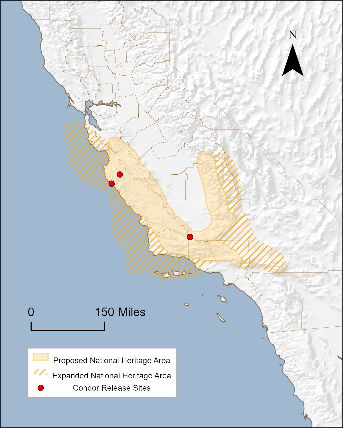
- Range of the Condor National Heritage Area
- Conservancy for the Range of the Condor
- The Condor Trail
- Lands that could potentially be designated for inclusion in the Range of the Condor National Heritage Area
- Maps of the proposed Range of the Condor National Heritage Area
- Organizations that are potential partners in the Range of the Condor National Heritage Area
- How to Post a Map on the Wiki
Disclaimer
This page may contain student work completed as part of assigned coursework. It may not be accurate. It does not necessary reflect the opinion or policy of CSUMB, its staff, or students.