Difference between revisions of "Carneros Watershed: Canopy Cover"
From CCoWS Wiki
| Line 7: | Line 7: | ||
* Original source of data: | * Original source of data: | ||
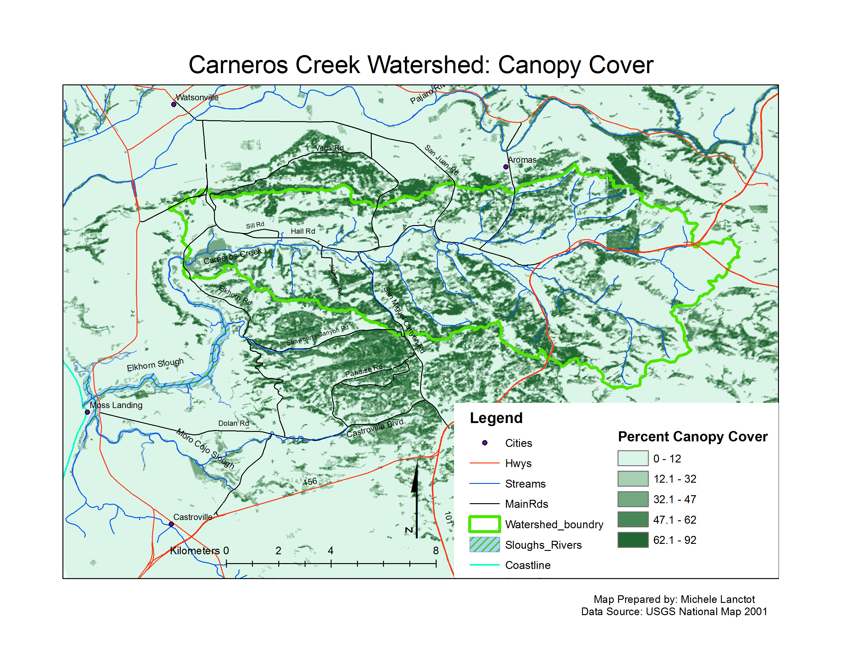
| − | **Percent canopy cover: [[National Map]] | + | **Percent canopy cover: USGS National Land Cover Database Landsat 7, DEM 2001 obtained from [[National Map]] Viewer |
** Hydrography: [[National Map]] hydrography data set | ** Hydrography: [[National Map]] hydrography data set | ||
** Roads: [[National Map]] transportation data set | ** Roads: [[National Map]] transportation data set | ||
Latest revision as of 16:19, 12 February 2011

Metadata
- Original source of data:
- Percent canopy cover: USGS National Land Cover Database Landsat 7, DEM 2001 obtained from National Map Viewer
- Hydrography: National Map hydrography data set
- Roads: National Map transportation data set
- Watershed boundary: Watershed analysis in ArcMap by Fred Watson based on National Map 1/3 arc-second elevation data
- Data analysis: Fred Watson (watershed boundary)
- Map produced by: Rose Ashbach
- Map produced using: ArcMap
- Coordinate system: Geographic Coordinate System - GCS_North_American_1983
- Datum: D_North_American_1983
Alternate versions
- None