File:CarnerosWatershed ElevationMap.png
From CCoWS Wiki

Size of this preview: 776 × 600 pixels.
Original file (1,056 × 816 pixels, file size: 567 KB, MIME type: image/png)
For metadata and alternative versions see: Carneros Watershed: Map of Elevation
File history
Click on a date/time to view the file as it appeared at that time.
| Date/Time | Thumbnail | Dimensions | User | Comment | |
|---|---|---|---|---|---|
| current | 16:08, 10 February 2011 | | 1,056 × 816 (567 KB) | Pattyc (Talk | contribs) | Reverted to version as of 23:05, 10 February 2011 |
| 16:07, 10 February 2011 | 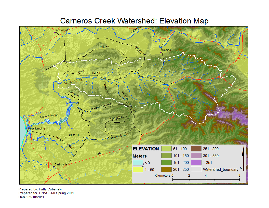 | 1,056 × 816 (567 KB) | Pattyc (Talk | contribs) | ||
| 16:05, 10 February 2011 |  | 1,056 × 816 (567 KB) | Pattyc (Talk | contribs) | ||
| 22:08, 9 February 2011 | 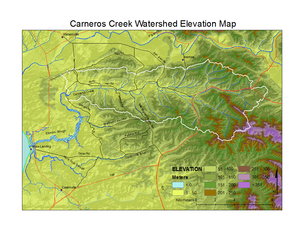 | 1,056 × 816 (623 KB) | Pattyc (Talk | contribs) | ||
| 17:50, 8 February 2011 | 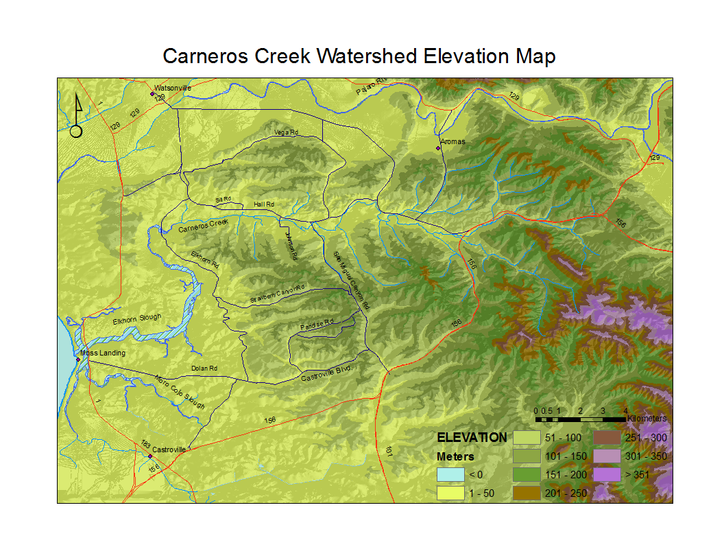 | 1,056 × 816 (628 KB) | Pattyc (Talk | contribs) |
- You cannot overwrite this file.
File usage
The following 2 pages link to this file: