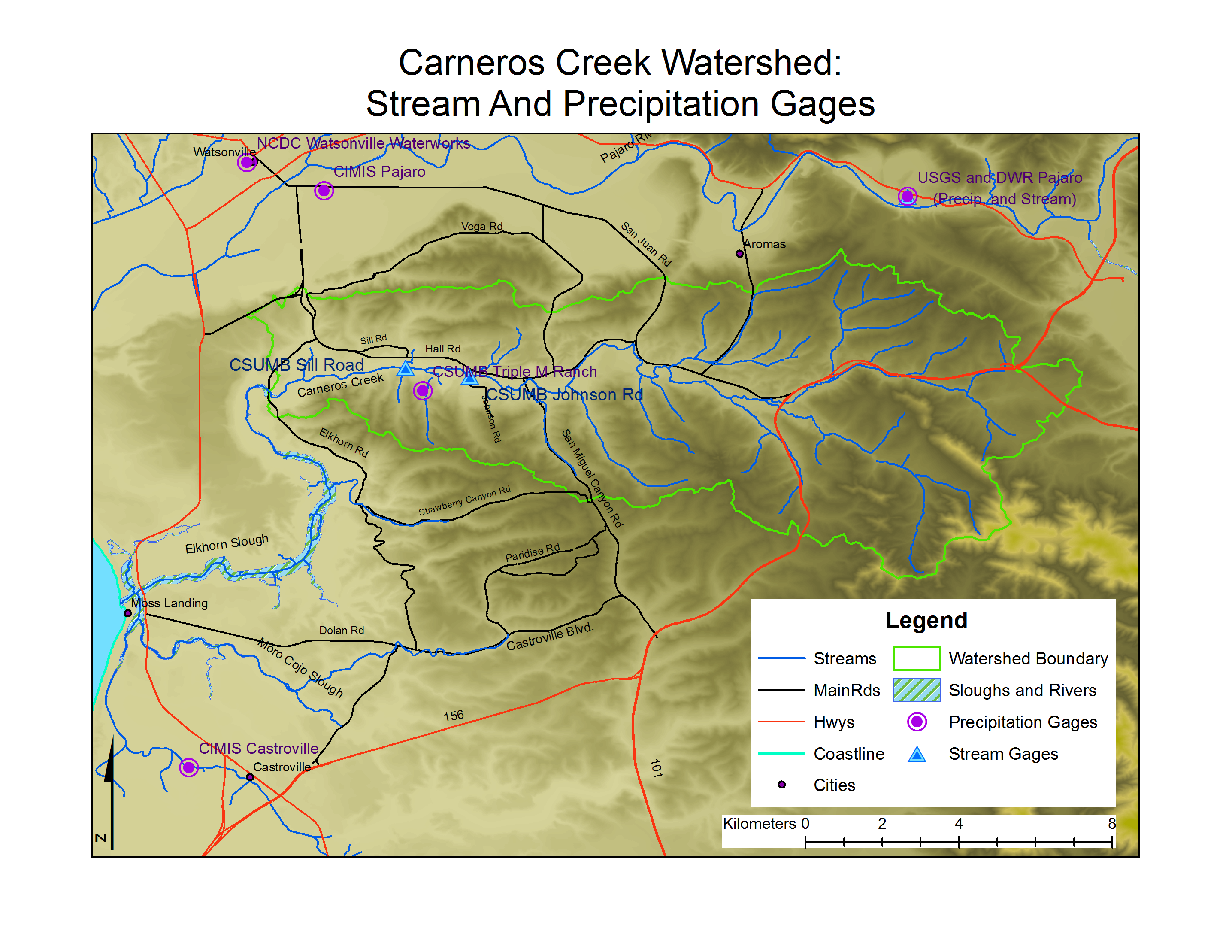
Carneros Watershed: Map of Precipitation and Stream Gages
From CCoWS Wiki

Metadata
- Original source of data:
- Hydrography: National Map hydrography data set
- Roads: National Map transportation data set
- Watershed boundary: Watershed analysis in ArcMap by Fred Watson based on National Map 1/3 arc-second elevation data
- Precipitation Gages:
- Stream Gages:
- Data analysis: Fred Watson (watershed boundary)
- Map produced by: Rose Ashbach and Gabriela Alberola
- Map produced using: ArcMap
- Coordinate system: Geographic Coordinate System - GCS_North_American_1983
- Datum: D_North_American_1983
Alternate versions
- None