File:CarnerosWatershed Precipitation2.png
From CCoWS Wiki

Size of this preview: 776 × 600 pixels.
Original file (1,056 × 816 pixels, file size: 759 KB, MIME type: image/png)
Metadata
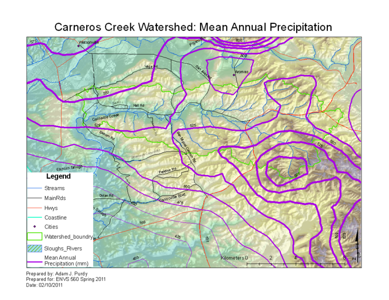
- Original source of data: See PRISM
- Data anlysis: ArcMap
- Map produced by: Adam J. Purdy
- Coordinate system: UTM Zone 10
- Datum: NAD 83
Processing Steps
- A --> Raster
- Select the DEM you want to calculate slope from
- Modify colors and category breaks as needed
Links
File history
Click on a date/time to view the file as it appeared at that time.
| Date/Time | Thumbnail | Dimensions | User | Comment | |
|---|---|---|---|---|---|
| current | 16:26, 10 February 2011 | | 1,056 × 816 (759 KB) | Ajp (Talk | contribs) |
- You cannot overwrite this file.
File usage
The following 3 pages link to this file: