Difference between revisions of "Carneros Watershed: Slope"
From CCoWS Wiki
(→Links) |
|
(No difference)
| |
Revision as of 17:18, 8 February 2011

Metadata
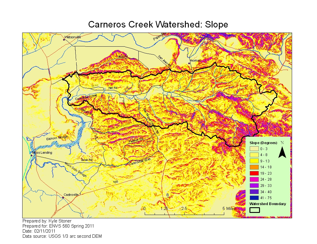
- Original source of data: See Carneros Creek Watershed: Map of Elevation
- Data analysis: ArcMap
- Map produced by: Kyle Stoner
- Coordinate system: UTM Zone 10
- Datum: NAD 83
Processing Steps
- Open the Tools -> Surface -> Slope
- Select the DEM you want to calculate slope from
- Modify colors and category breaks as needed