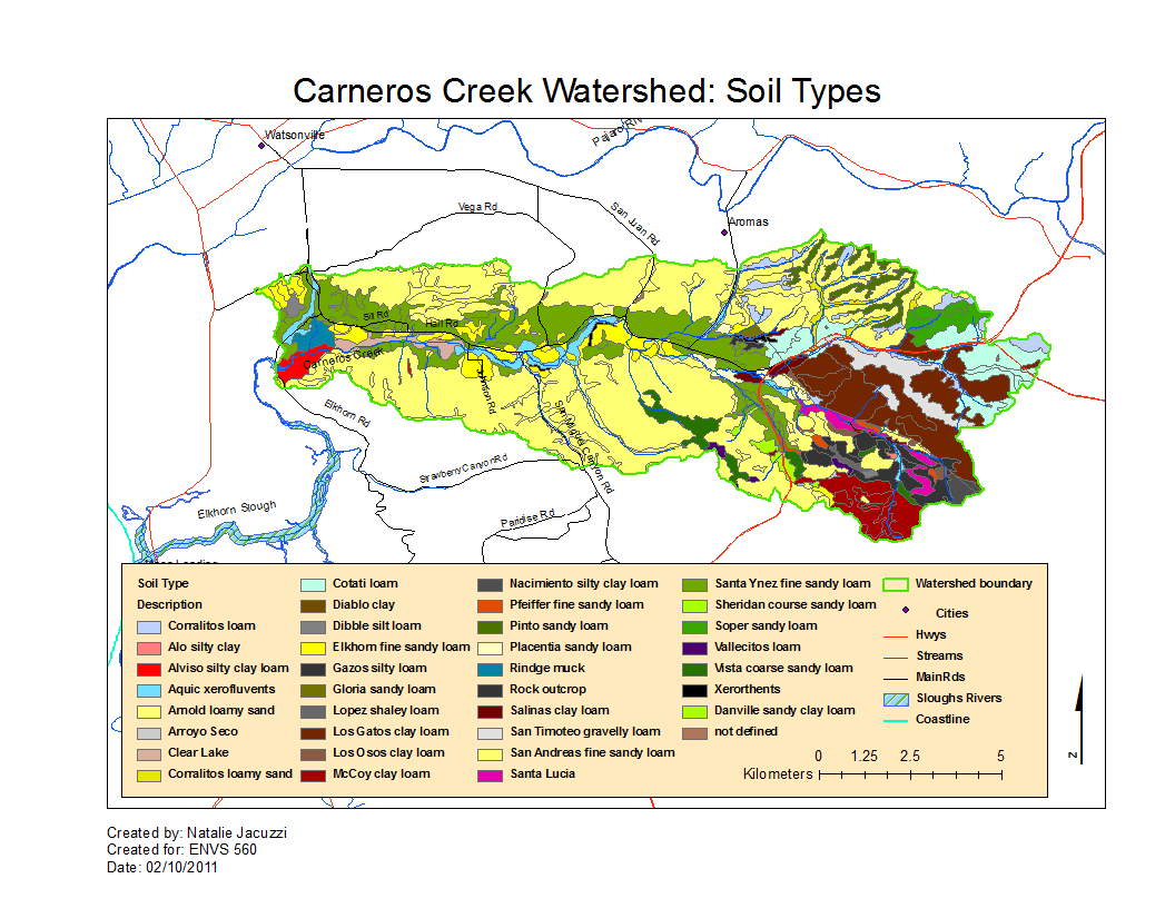
Carneros Watershed: Map of Soil Type
From CCoWS Wiki

Metadata
- Original source of data: SSURGO
- Data analysis by: Natalie
- Map produced by: Natalie
- Map produced using: ArcMap version 9.3.1
- Coordinate system: Longitude Latitude
- Datum: GCS North American Datum 1983
Steps taken
- Download SSURGO data for each of the 4 counties on the map (Monterey, Santa Cruz, San Benito, and Santa Clara) from one of the Useful Data Sources
- Re-project each Layer into GCS North American Datum 1983
- In the steps below, work with the soil type (soilmu_a) shapefiles
- Add in re-projected "soilmu_a" layers for each county into the basemap
- Clip each county's SSURGO data to the watershed outline:
- Analysis tools --> Extract --> Clip
- Repeat for each county layer
- Analysis tools --> Extract --> Clip
- Merge the four clipped county MUSYM shapefiles into one shapefile:
- Data management tools --> General --> Merge
- Add this clipped-merged shapefile
- Use the "Muagget" text file to make a list of the soil types and their correlating codes in the "MUSYM" column of the attribute table
- Define symbology with a different color for each category of MUSYM (group categories by excluding slope percentage)
- Note, different counties appear to have used different codes for the same soil types, so there will be mis-matches at county boundaries
- Select the soil types that are inside the watershed boundary
- Add a legend for this inside-watershed layer
Alternate versions
- None