Difference between revisions of "Carneros Watershed: Geology"
From CCoWS Wiki
| Line 1: | Line 1: | ||
| − | [[Image:Image: | + | [[Image:Image:CarnerosBaselineGeology.png|200px|thumb|Carneros Watershed: Geology]] |
| − | |200px|thumb|Carneros Watershed: Geology]] | + | |
Revision as of 14:49, 10 February 2011
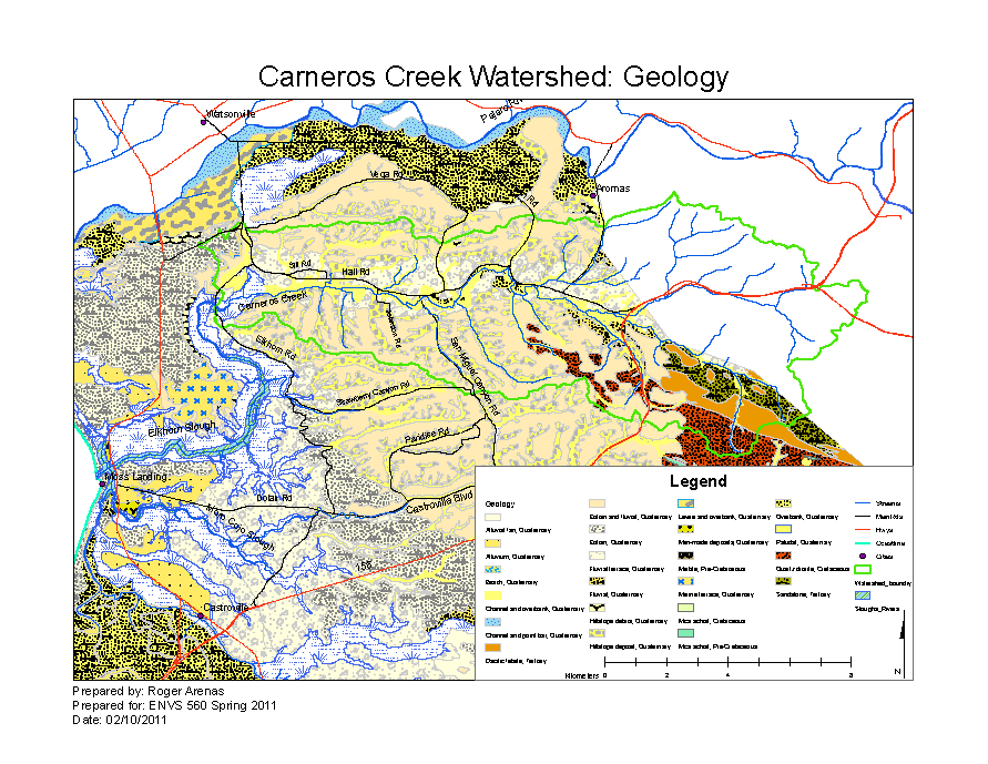
File:Image:CarnerosBaselineGeology.png
Carneros Watershed: Geology
Metadata
- Original source of data:
- Hydrography: National Map hydrography data set
- Roads: National Map transportation data set
- Watershed boundary: Watershed analysis in ArcMap by Fred Watson based on National Map 1/3 arc-second elevation data
- Geology of Monterey County: Doug Smith, data available from: FEMA website
- Data analysis: Fred Watson (watershed boundary); Roger Arenas (Geology)
- Base map produced by: Rose Ashbach
- 100 year FEMA floodplain map produced by: Roger Arenas
- Map produced using: ArcMap
- Coordinate system: Geographic Coordinate System - GCS_North_American_1983
- Datum: D_North_American_1983