File list
From CCoWS Wiki
This special page shows all uploaded files.
| Name | Thumbnail | Size | User | Description | Versions | |
|---|---|---|---|---|---|---|
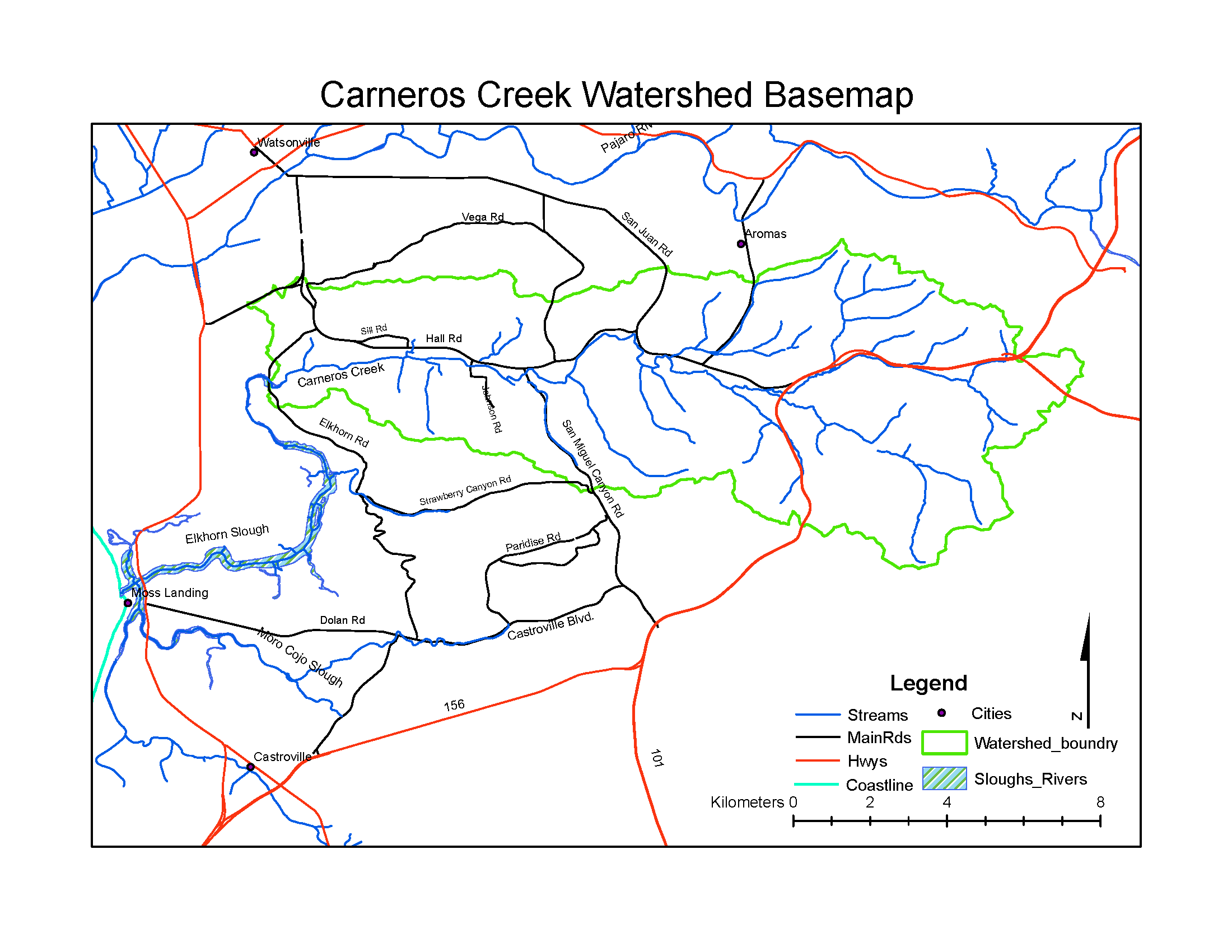
| 10:25, 6 February 2011 | CarnerosWatershed Basemap.png (file) |  |
108 KB | Fred | 1 | |
| 23:49, 2 February 2011 | TripleMMap Laurel.pdf (file) | 320 KB | Ryanb | Location of Triple M Ranch, image courtesy of Laurel Marcus & Associates. Also available from: http://elkhornsloughctp.org/uploads/1238016056Triple%20M%20in%20Context%20Map.pdf | 1 | |
| 23:43, 2 February 2011 | TripleMMap Laurel.PDF (file) | 320 KB | Ryanb | Location of Triple M Ranch, image courtesy of Laurel Marcus & Associates. Also available from: http://elkhornsloughctp.org/uploads/1238016056Triple%20M%20in%20Context%20Map.pdf | 1 | |
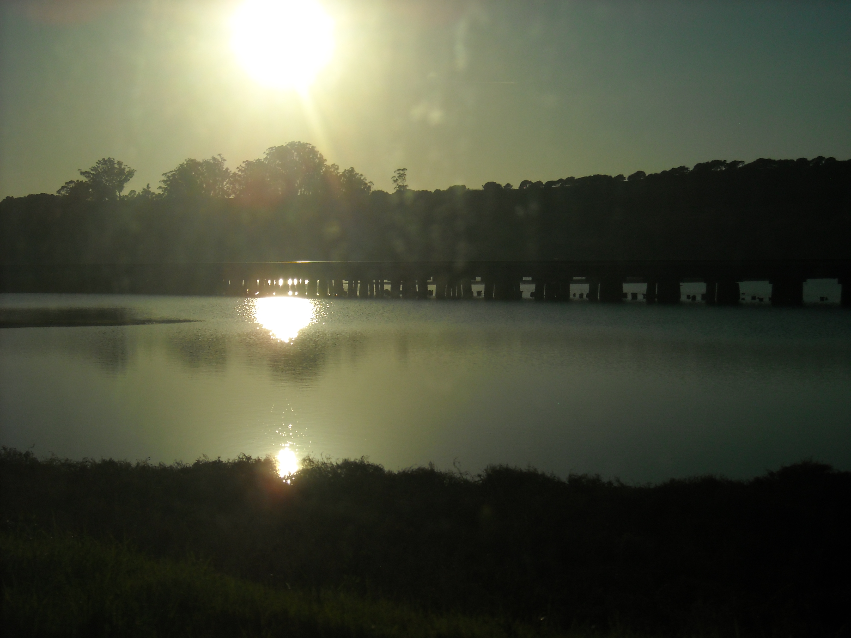
| 22:37, 2 February 2011 | DSCN1497.JPG (file) |  |
3.95 MB | Nataliej | ES | 1 |
| 20:52, 2 February 2011 | Example.jpg (file) |  |
792 KB | Michelel | 1 | |
| 15:49, 2 February 2011 | DSCN1496.JPG (file) |  |
3.47 MB | Nataliej | Elkhorn Slough National Estuarine Research Reserve | 1 |
| 20:10, 1 February 2011 | Screen shot 2011-02-01 at 7.09.29 PM.png (file) |  |
207 KB | Rogera | Groundwater levels in Pajaro Valley | 1 |
| 20:06, 1 February 2011 | Picture 5.png (file) |  |
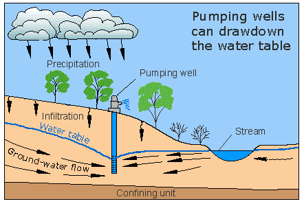
25 KB | Ajp | USGS groundwater cycle. | 1 |
| 19:20, 1 February 2011 | Screen shot 2011-02-01 at 6.19.17 PM.png (file) |  |
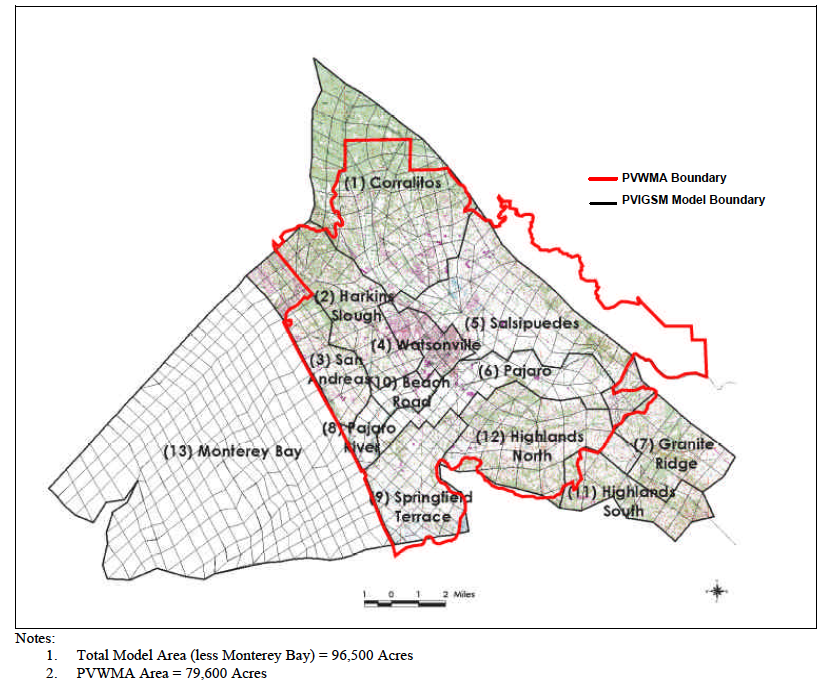
447 KB | Rogera | Pajaro Valley Water Management Agency Service Area | 1 |
| 18:26, 1 February 2011 | Picture 4.png (file) |  |
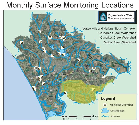
391 KB | Ajp | PVWMA Monitoring Statsion | 1 |
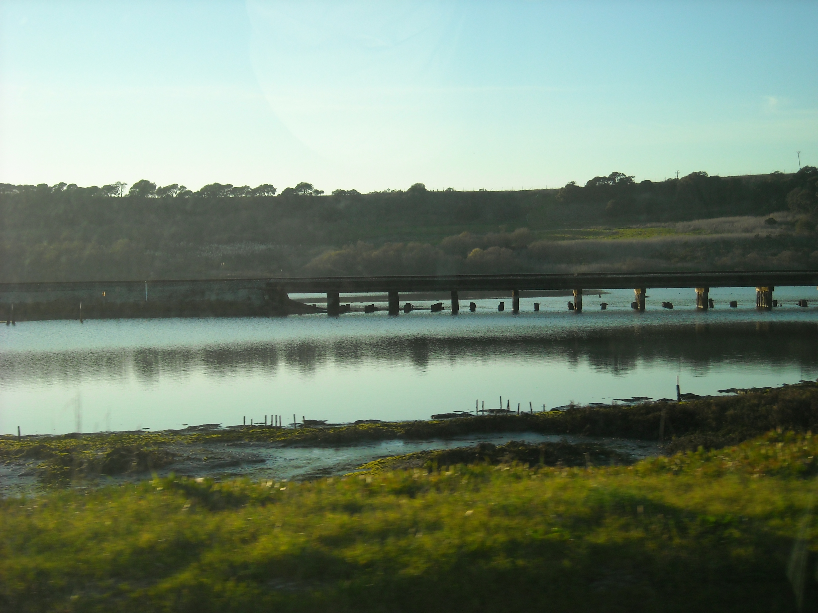
| 13:41, 1 February 2011 | DSCN1503.JPG (file) |  |
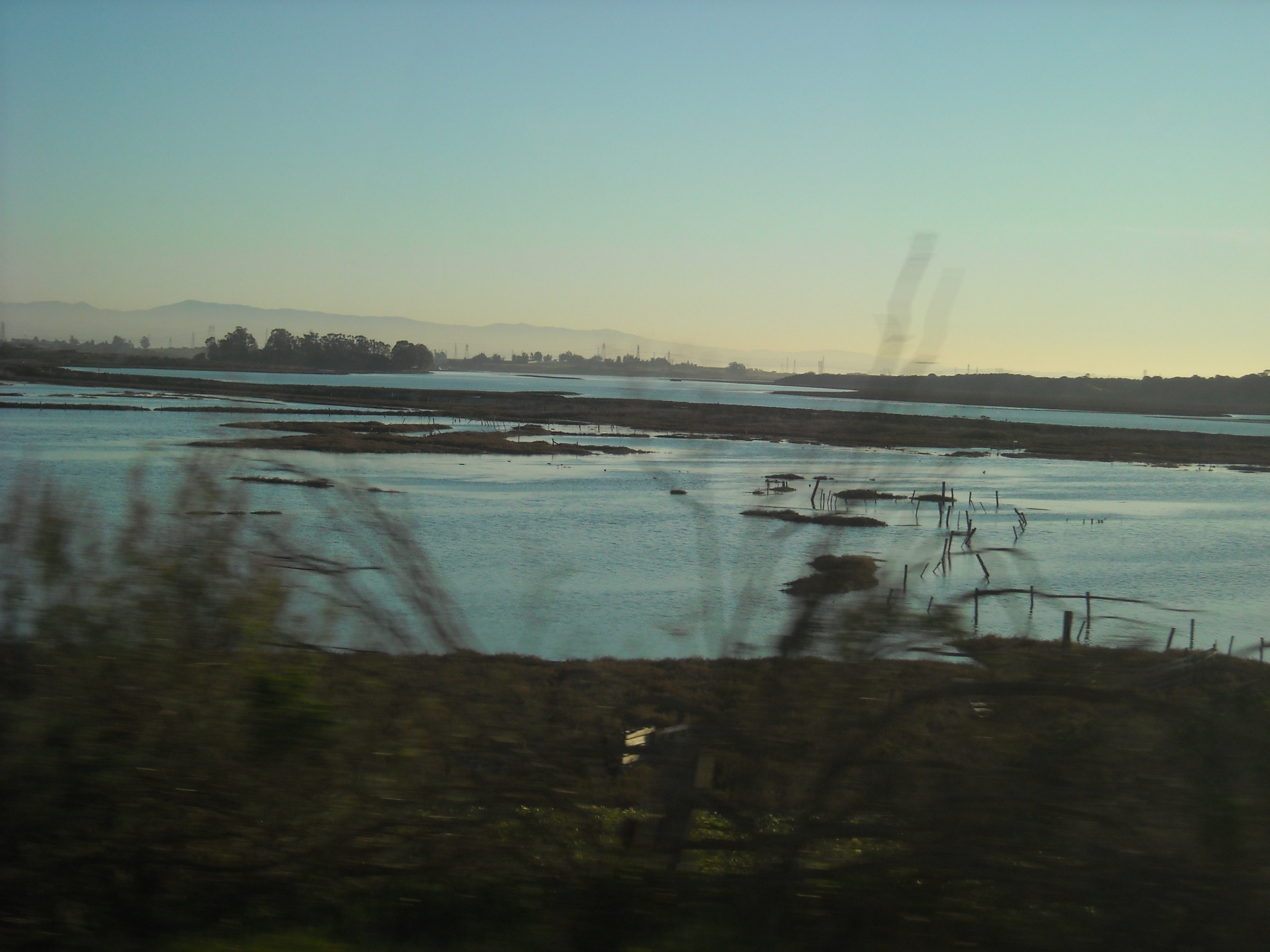
3.94 MB | Nataliej | Elkhorn Slough | 1 |
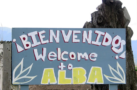
| 15:50, 31 January 2011 | Welcome.JPG (file) |  |
48 KB | Kyles | Welcome sign on an ALBA farm | 1 |
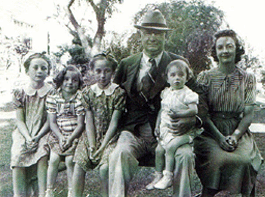
| 15:45, 31 January 2011 | Family.gif (file) |  |
54 KB | Kyles | Judge James A. Bardin, Geraldine Mary Bardin, and their children on the farm that is now the RDC. | 1 |
| 15:05, 29 November 2010 | DefaultFolderLocation.jpg (file) |  |
121 KB | Alberto | 1 | |
| 15:03, 29 November 2010 | DefaultCodelocation.jpg (file) |  |
139 KB | Alberto | 1 | |
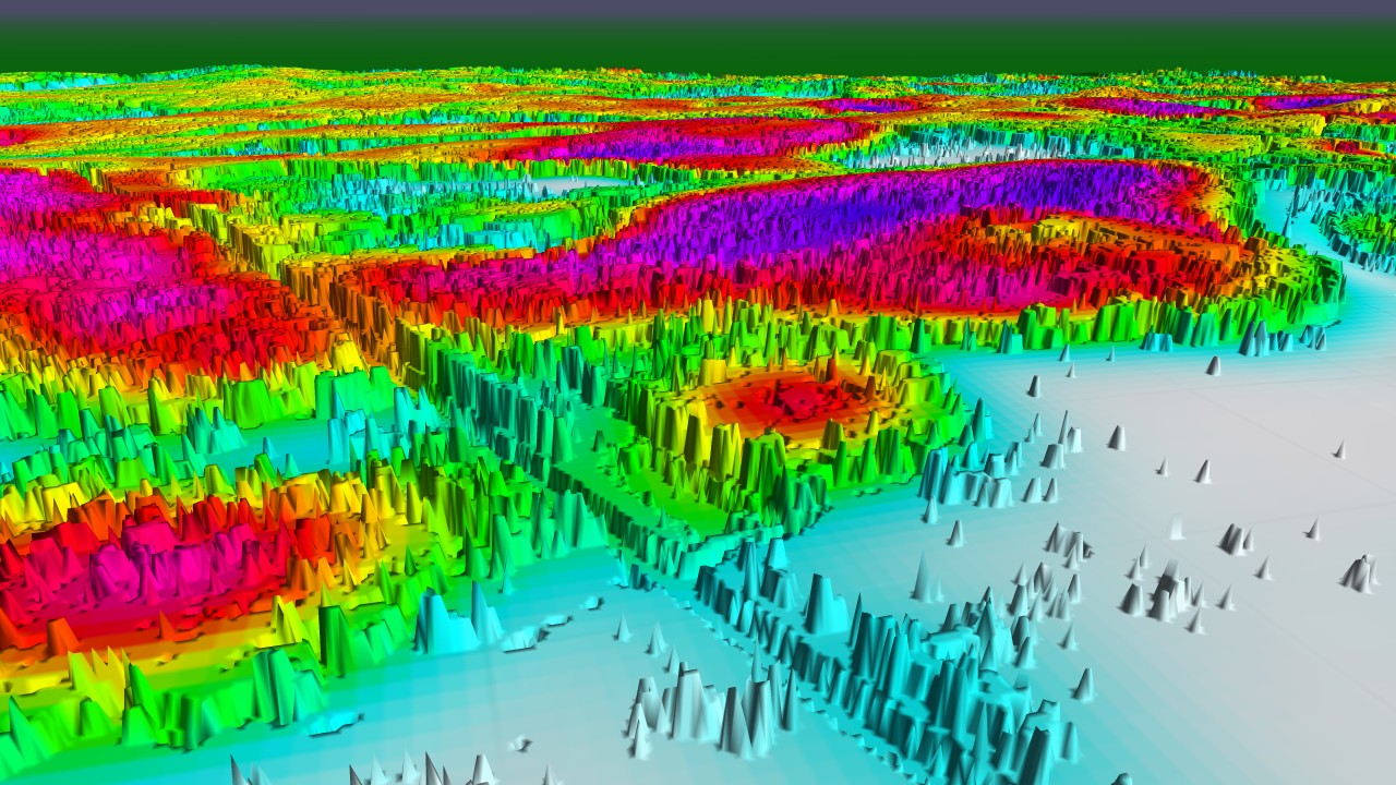
| 12:59, 19 November 2010 | Ven reliefColor.jpg (file) |  |
323 KB | Alberto | Veneer on top of a terrain. Uses vegetation raster for elevation and model output for color. | 1 |
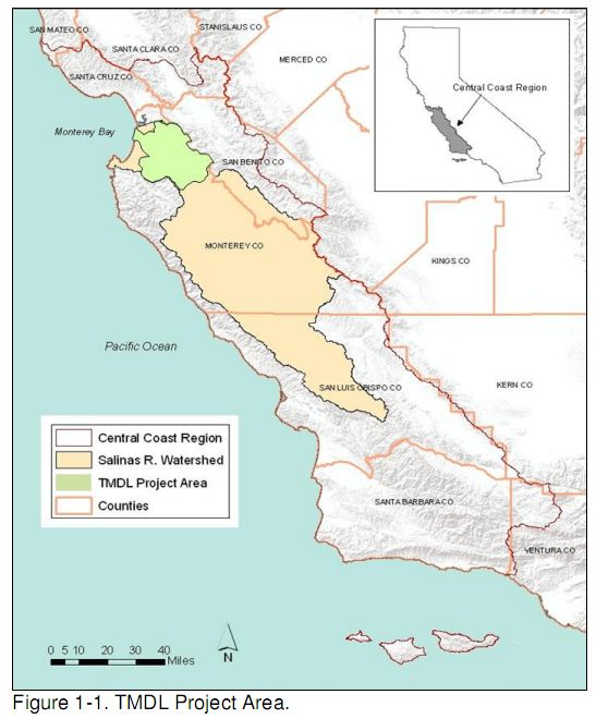
| 15:42, 21 March 2010 | TMDL project area.JPG (file) |  |
64 KB | Davidn | TMDL Fecal Coliform Salinas Project Area | 1 |
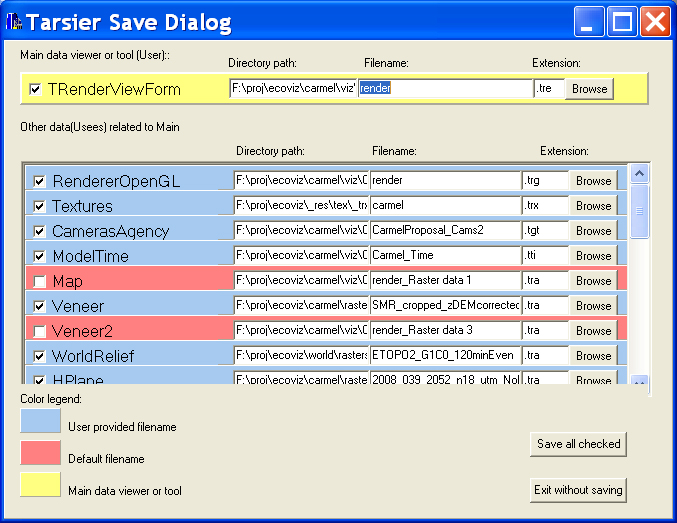
| 16:13, 10 March 2010 | TarsierSaveDlg.jpg (file) |  |
272 KB | Alberto | 1 | |
| 17:55, 2 March 2010 | UseeControl.JPG (file) | 24 KB | Alberto | Tarsier UseeControl | 1 | |
| 13:25, 22 February 2010 | FortOrd symbols.jpg (file) |  |
295 KB | Alberto | 1 | |
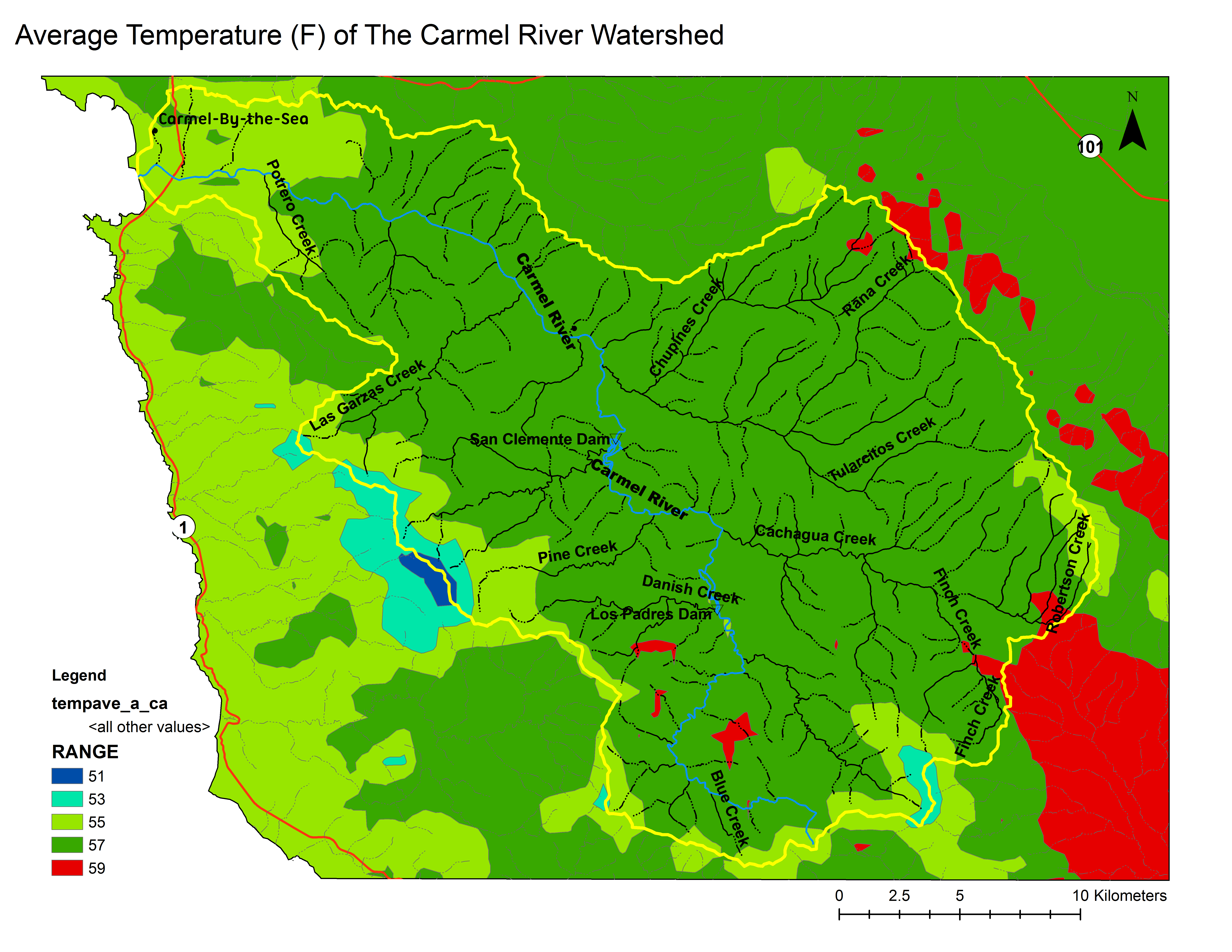
| 13:05, 13 February 2010 | Carmel TAvg.pdf (file) | 405 KB | Davidn | 1 | ||
| 12:56, 13 February 2010 | Carmel TAvg thumb.png (file) |  |
1.29 MB | Davidn | 1 | |
| 12:51, 13 February 2010 | Carmel TAvg.png (file) | Error creating thumbnail: Invalid thumbnail parameters |
941 KB | Davidn | 1 | |
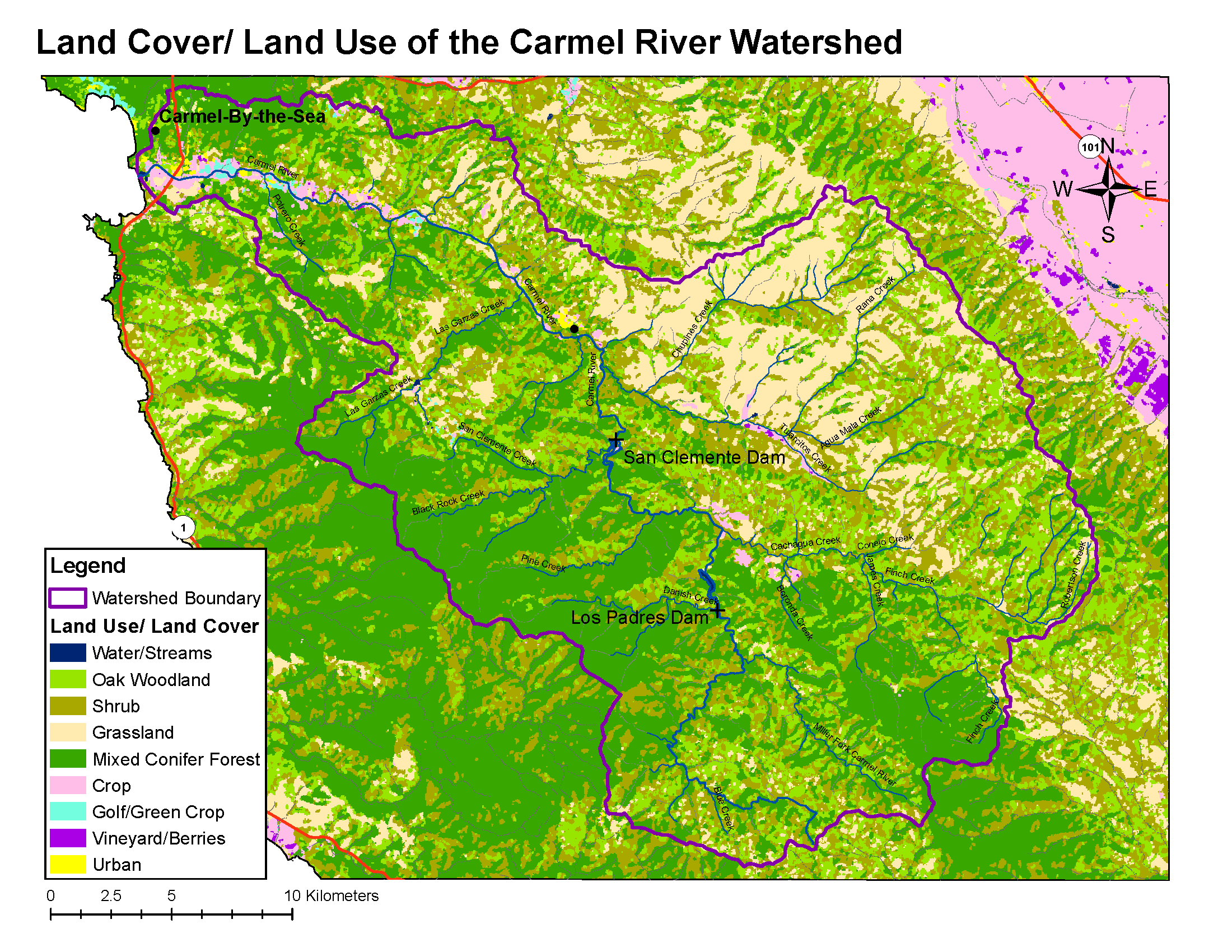
| 09:02, 12 February 2010 | ENVS560 Map LippertLucas.png (file) |  |
523 KB | Lukel | Carmel LU/LC map for thumbnail | 1 |
| 17:02, 11 February 2010 | Soil erosion index2.pdf (file) | 5.09 MB | Sandyc | 1 | ||
| 17:00, 11 February 2010 | Soil Erosion Index2.png (file) |  |
297 KB | Sandyc | 2 | |
| 16:59, 11 February 2010 | Soil Erosion Index2.pdf (file) | 5.09 MB | Sandyc | 1 | ||
| 16:58, 11 February 2010 | Soil erosion index.png (file) |  |
297 KB | Sandyc | 2 | |
| 16:56, 11 February 2010 | Soil erosion index2.png (file) |  |
297 KB | Sandyc | 1 | |
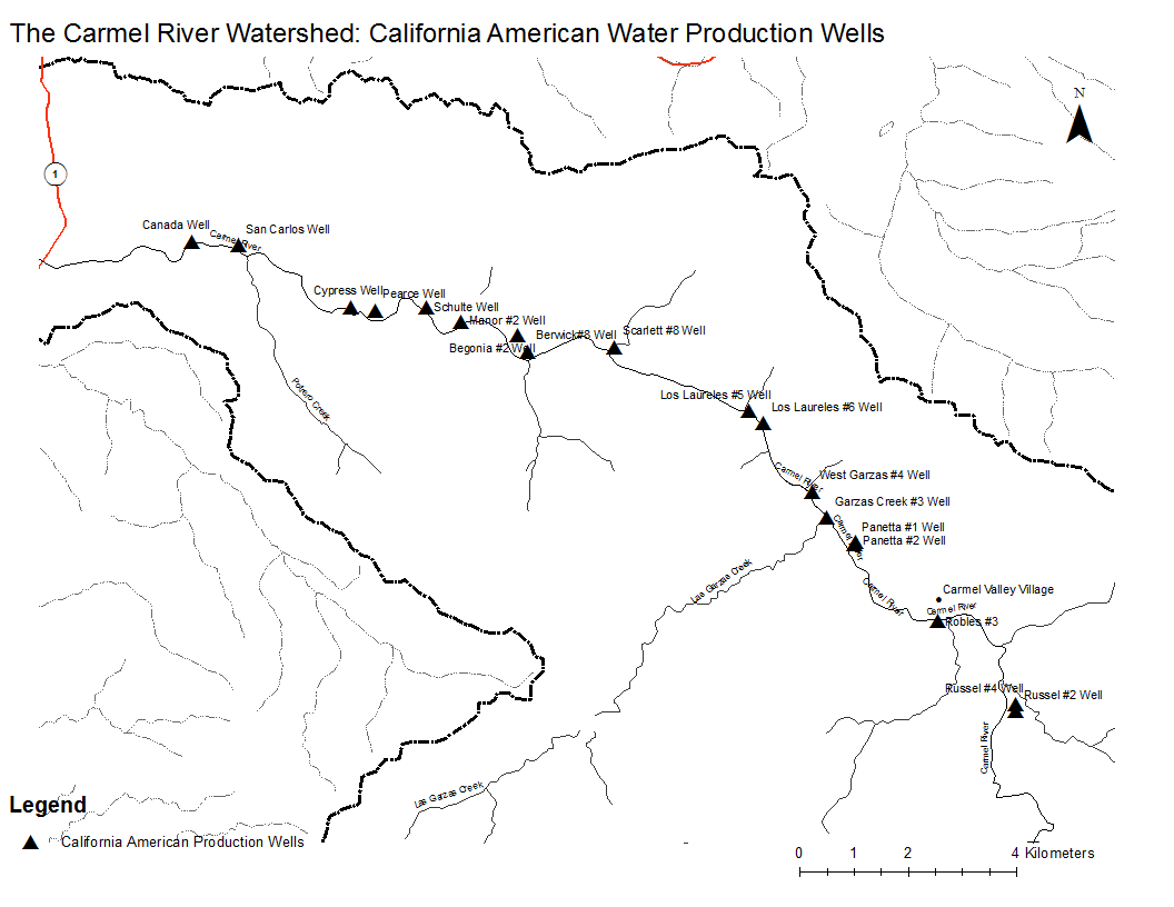
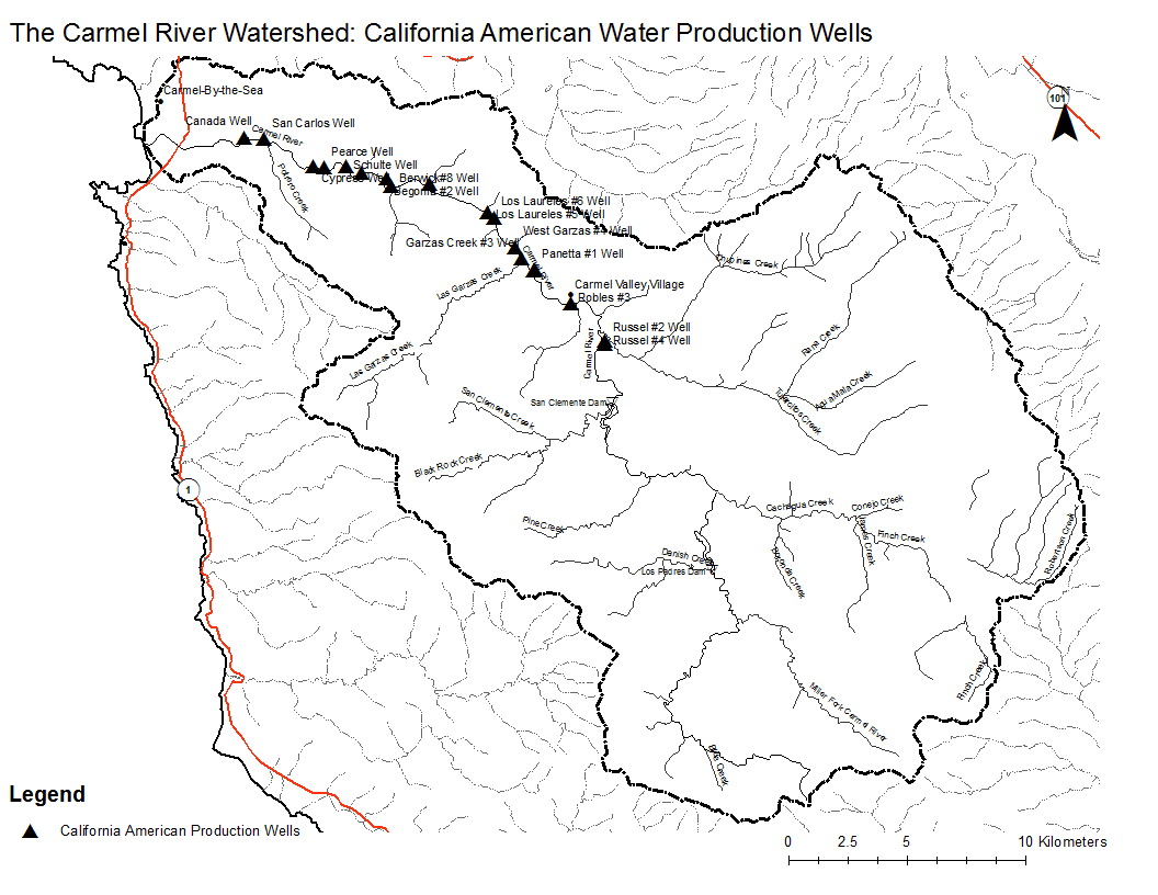
| 15:41, 11 February 2010 | Carmel WellsZoom.png (file) |  |
49 KB | Emilyp | 1 | |
| 15:41, 11 February 2010 | Carmel WellsZoom.pdf (file) | 59 KB | Emilyp | 1 | ||
| 15:30, 11 February 2010 | Carmel Wells.Map.png (file) |  |
74 KB | Emilyp | 1 | |
| 15:29, 11 February 2010 | Carmel Wells.pdf (file) | 139 KB | Emilyp | 1 | ||
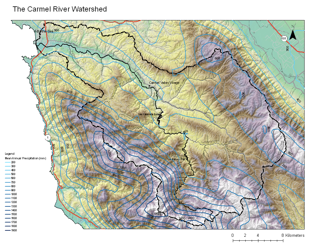
| 15:01, 11 February 2010 | Carmel Precip Final2.png (file) |  |
1.18 MB | Tyb | 1 | |
| 14:59, 11 February 2010 | ENVS560 Map LippertLucas.pdf (file) | 2.91 MB | Lukel | LU/LC for Carmel Valley | 1 | |
| 14:56, 11 February 2010 | Carmel Precip Final2.pdf (file) | 5.73 MB | Tyb | 1 | ||
| 14:56, 11 February 2010 | Carmel Precip Final.png (file) |  |
1.18 MB | Tyb | 1 | |
| 13:49, 11 February 2010 | Carmel BaseMap2 +Elev.pdf (file) | 3.56 MB | Mariao | 1 | ||
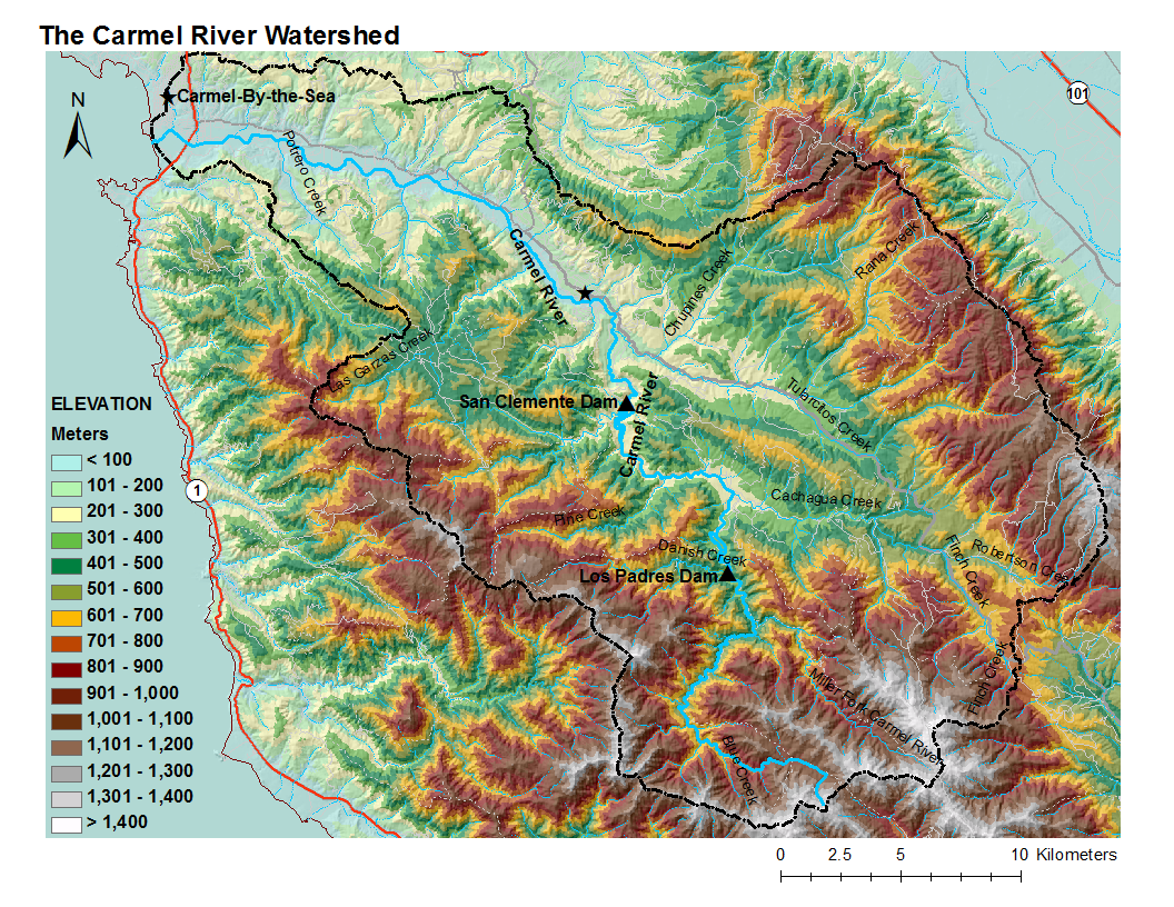
| 13:37, 11 February 2010 | Carmel BaseMap +Elev.png (file) |  |
1.12 MB | Mariao | 2 | |
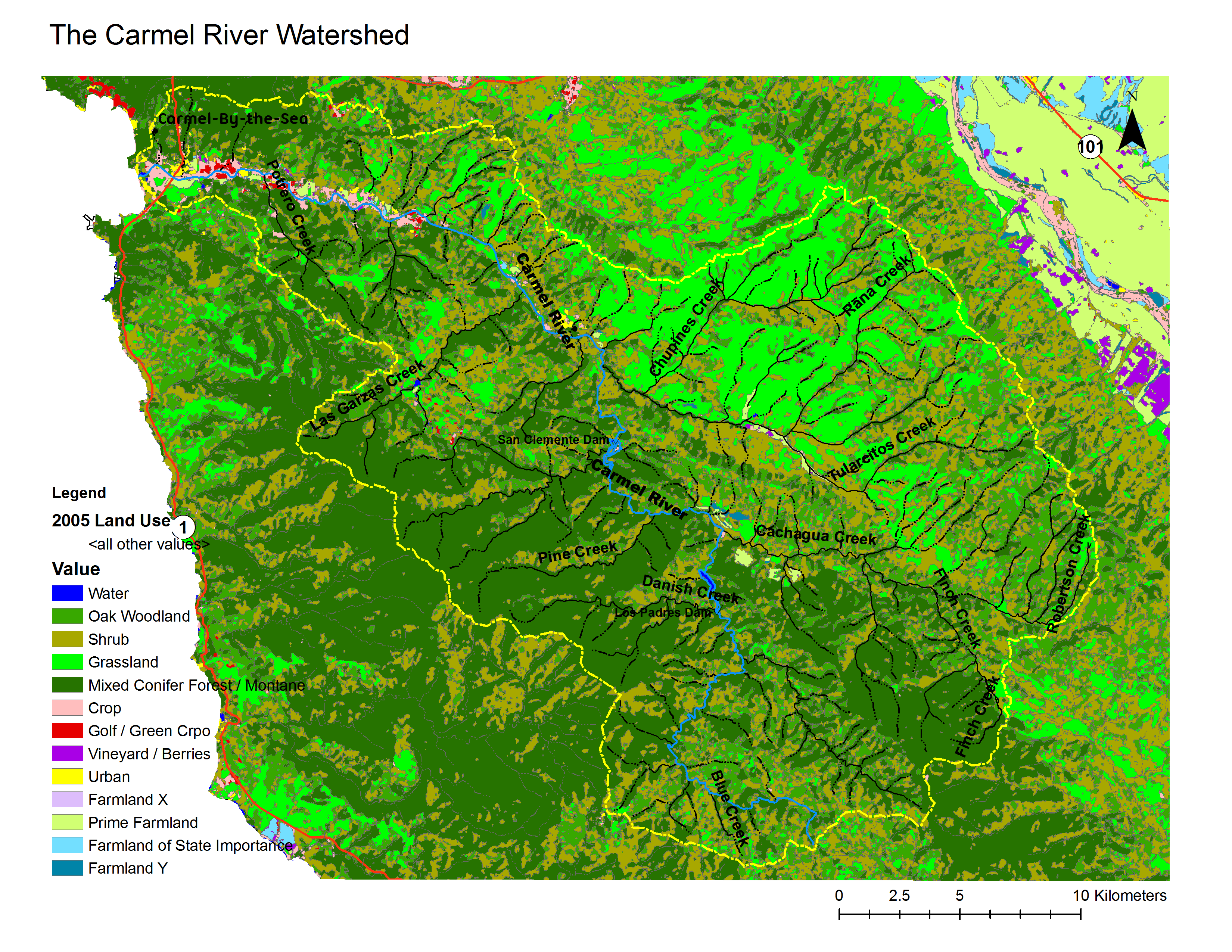
| 12:44, 11 February 2010 | Carmel land use and land cover2 useme.png (file) |  |
1.09 MB | Davidn | 1 | |
| 12:42, 11 February 2010 | Carmel land use and land cover2 USEME.png (file) |  |
1.09 MB | Davidn | 1 | |
| 12:40, 11 February 2010 | Carmel land use and land cover2 USEME.pdf (file) | 3.52 MB | Davidn | 1 | ||
| 12:39, 11 February 2010 | Carmel land use and land cover.pdf (file) | 4.04 MB | Davidn | TEST | 3 | |
| 12:28, 11 February 2010 | Carmel land use and land cover.png (file) |  |
1.09 MB | Davidn | Updated by David Nishijima 2/11/10 | 2 |
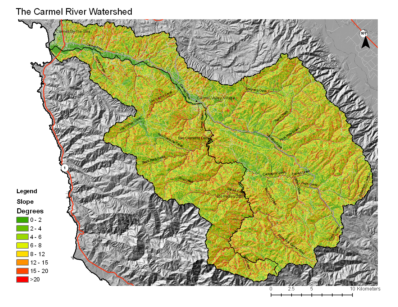
| 23:45, 10 February 2010 | Carmel Slope2.png (file) |  |
1.8 MB | Colinn | 1 | |
| 23:41, 10 February 2010 | Carmel Slope2.pdf (file) | 3.51 MB | Colinn | 1 | ||
| 19:43, 4 February 2010 | Spatial poster presentation.pdf (file) | 436 KB | Mariao | Reverted to version as of 02:24, 5 February 2010 | 4 | |
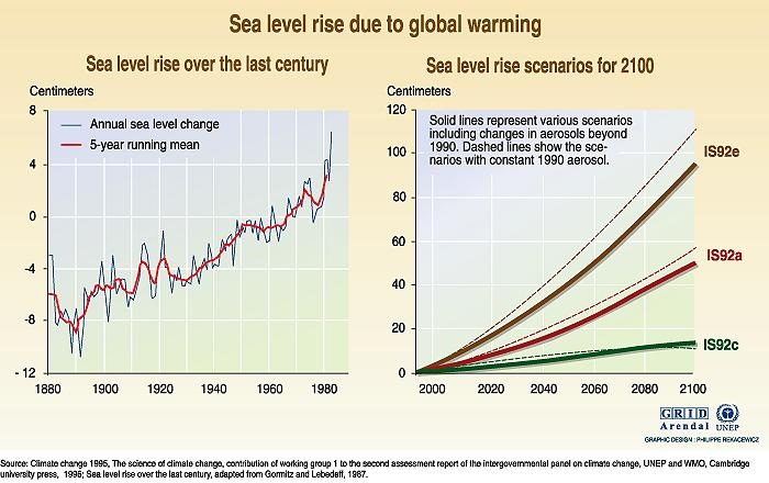
| 19:34, 4 February 2010 | Sea Levels Rising.jpg (file) |  |
94 KB | Mariao | 1 | |
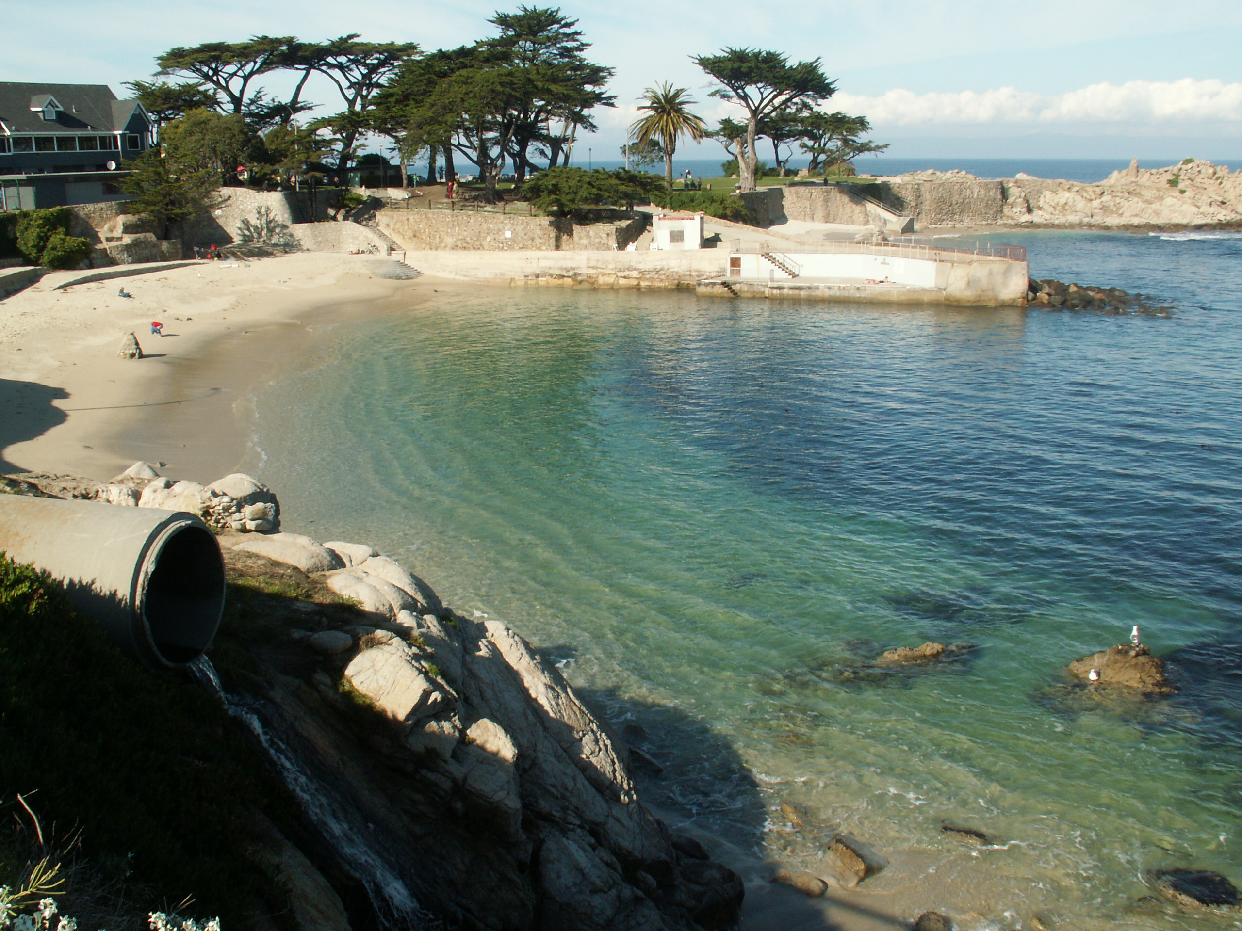
| 15:44, 4 February 2010 | PICT0109.jpg (file) |  |
1.09 MB | Tyb | Pacific Grove outfall into the Pacific Grove ASBS | 1 |
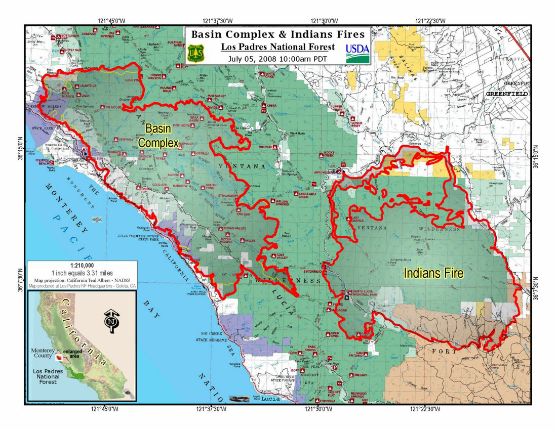
| 15:37, 4 February 2010 | Map basin 7 14 large.jpg (file) |  |
711 KB | Colinn | Map of Basin Complex and Indians Fire just before they merged into one fire. Source: http://westinstenv.org/wp-content/postimage/Indians_map_070508.jpg | 2 |
First page |
Previous page |
Next page |
Last page |